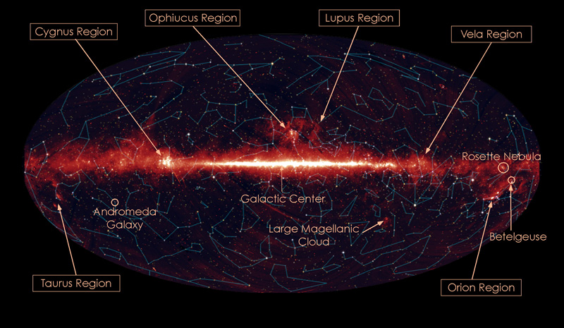
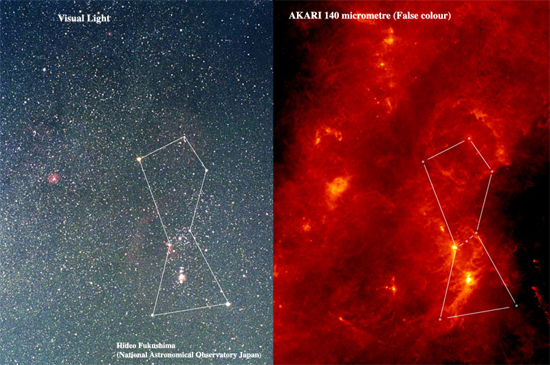
The infrared astronomy satellite AKARI started the regular observations in May 2006. In the last one year, AKARI has carried out the All-Sky Survey observations to map the entire sky, as well as thousands of pointed observations of selected targets. Here we show the beautiful images constructed from the AKARI All-Sky Survey data; The entire sky in the mid-infrared light, the far-infrared image of the constellation Orion and the Milky Way, and the far-infrared image of the Cygnus-X region. Read More


More About AKIRI
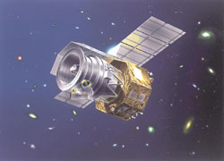
AKARI (Previously known as ASTRO-F or IRIS – InfraRed Imaging Surveyor) is the second space mission for infrared astronomy in Japan. AKARI has been developed by members of JAXA/ISAS and collaborators. IRAS (Infrared Astronomical Satellite, launched in 1983 by the United Kingdom, the United States, and the Netherlands) carried out the first all-sky survey at infrared wavelengths and made a huge impact on astronomy. The AKARI mission is an ambitious plan to make an all-sky survey with much better sensitivity, spatial resolution and wider wavelength coverage than IRAS. AKARI has a 68.5cm telescope cooled down to 6K, and will observe in the wavelength range from 1.7 (near-infrared) to 180 (far-infrared) micron. AKARI was successfully launched into space by a M-V rocket. AKARI has been placed in a sun-synchronous polar orbit of about 700 km. Read More

Japan Aerospace Exploration Agency